Trou aux Cerfs Crater
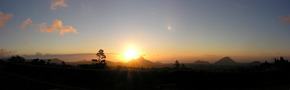
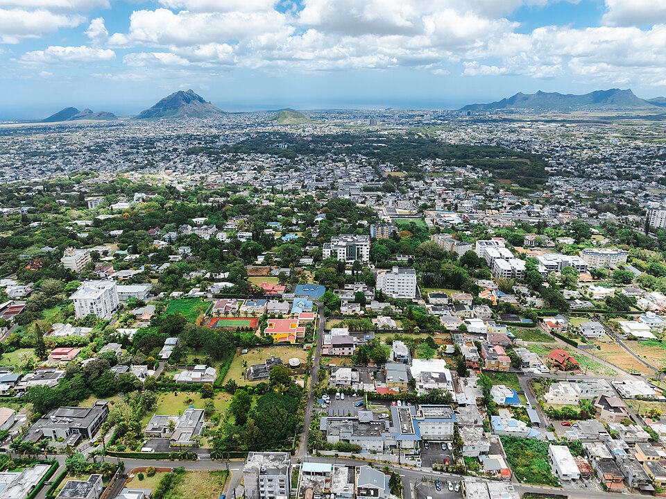
A dormant volcano crater 300 m across in the middle of Curepipe, ringed by a shady promenade. On a clear day the panorama spans the central plateau and the western mountains.
Tip: Come in the morning before the clouds, common in Curepipe from noon; 20-30 minute walking loop around the rim.
360° view
Drag to look around. Google Maps imagery, loaded only if you click.
A volcano in the middle of town
Trou aux Cerfs is a dormant volcanic cone sitting right in Curepipe, 605 m above sea level. Its crater is roughly 300 to 350 m across (sources differ) and 80 m deep, and its last eruption is estimated at around 700,000 years ago.
The overgrown crater floor is off limits, and the real reward is the view. On a clear day you can pick out Le Morne Brabant to the south-west, the Port Louis mountains to the north-west and central peaks such as Pieter Both and Le Pouce.
The rim walk
A road climbs almost to the rim, with free parking at the top. A paved, mostly level path loops around the crater for about 1 km: allow 20 to 30 minutes at an easy pace, longer if you linger at the benches and viewpoints.
It is also Curepipe's favourite jogging circuit, busy early in the morning and in the evening. Stay on the rim path; the inner slopes are steep and slippery.
Price, hours and getting there
Access is free and open, with no ticket office (checked October 2026). Visit in daylight: lighting is limited and the site is quiet after dark.
By car, Curepipe is reached via the M1 motorway: roughly 30 to 40 minutes from Port Louis outside rush hour, about an hour from Grand Baie. Without a car, the Metro Express links Port Louis and Curepipe in under an hour; from Curepipe Central station take a taxi for the steep climb.
Best time and weather
Curepipe is one of the coolest and wettest towns on the island, and cloud often settles over the plateau by late morning. For the view, aim for early morning, ideally in the drier southern-hemisphere winter.
Bring a light jumper or windproof even if it is hot on the coast, and an umbrella in summer. The paved path works fine with a pushchair.
What to combine it with
Half an hour is enough, which makes it an easy stop on the way south. Continue to Floréal and its knitwear factory shops, then to Ganga Talao (Grand Bassin) and Plaine Champagne towards Chamarel.
In bad weather, save it for another day: in the mist you will see nothing at all, while the museums in Port Louis are a better bet.
Frequently asked questions
Is there an entrance fee for Trou aux Cerfs?
No, the site is free and open, with free parking on the crater rim.
How long does it take to walk around Trou aux Cerfs?
The paved loop is about 1 km long, so 20 to 30 minutes at a relaxed pace.
Can you walk down into the Trou aux Cerfs crater?
The crater floor is not set up for visitors and the slopes are steep and slippery. Stick to the path around the rim.
When is the best time to visit Trou aux Cerfs?
Early morning in dry weather, before Curepipe's frequent clouds roll in and hide the view.